
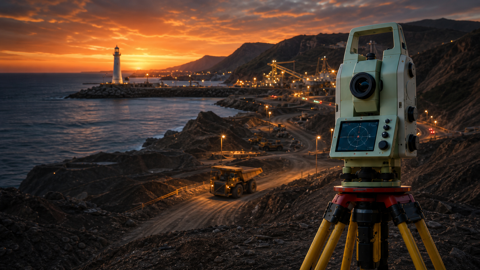
An accurate industrial survey quote depends almost entirely on the quality of the brief you send, not on how long the surveyor takes to price it. Give a firm the asset, the deliverable, the tolerance, the datum and the access constraints up front, and you will get a fixed, defensible number within a day or two; send "we need a survey of the plant" and you will get a wide range with caveats, or a low-ball figure that grows on site. This guide tells project managers, procurement teams and site supervisors exactly what to send, what drives the price, and how to compare quotes so you commit to the right scope the first time.
Key takeaways
- The single biggest price driver is tolerance, not area. A ±10 mm topographic survey and a ±0.5 mm rotating-equipment alignment over the same footprint are different jobs with different instruments, crews and day rates — state the tolerance per deliverable or the quote will hedge.
- Send the deliverable, not the method. Ask for "a registered point cloud in E57 plus a coordinate schedule in GDA2020/MGA2020 with AHD heights", not "a laser scan". The deliverable, format and datum let a surveyor scope instruments, station coverage and processing precisely.
- Access and isolation dominate field days on operating sites. EWP/scaffold time, confined-space permits, LOTO and live-plant coordination usually cost more than the measurement itself — declare them so they are priced in, not claimed as variations later.
- Expect realistic Australian ranges: a focused single-asset capture runs roughly AUD $3,500-$8,000, a multi-asset day $8,000-$18,000, and a full plant or shutdown programme $20,000-$60,000+, with FIFO and remote mobilisation (Pilbara, Bowen Basin) adding 25-100% before a point is measured.
- A quote without a stated standard, datum and tolerance is not comparable. Insist every quote names the standards it works to (ICSM SP1 for control, the relevant AS for the asset, CASA CASR Part 101 for any UAV work) so you are comparing like for like.
What information actually drives an industrial survey quote
A surveyor pricing your job is answering five questions: what am I measuring, how tightly, what state will it be in, how do I get to it, and what do you want back. Every gap in your brief becomes either a contingency loaded into the price or a variation raised on site. The five inputs below are what move the number.
1. The asset and its geometry. A 90 m kiln, a 600 m conveyor run, a 40 m diameter tank farm and a 200-hectare stockpile yard are wildly different mobilisations. Name the asset type, its approximate size, how many of them, and whether the work is one geometry or a comparison against a previous survey.
2. The tolerance and the standard. This is the lever that selects the instrument. Sub-millimetre alignment on a baseplate needs a Leica TS16 or MS60 total station tied to a control network; a few-millimetre as-built for clash detection needs a Leica RTC360 or FARO Focus scanner; a ±1-2% stockpile volume needs a DJI M350 RTK. State the number, not "high accuracy".
3. The asset state and timing. Can the asset only be measured cold, drained, cleaned and isolated during a shutdown? Is it live and the survey must work around production? Timing inside a turnaround window changes the crew planning and the price materially — see the shutdown survey planning checklist for how that sequencing works.
4. Access and safety. Working at height, confined-space entry, hot-work areas, energised plant and remote mobilisation are the quiet cost movers. A surveyor who knows they need an EWP for three days, a confined-space permit for two vessels and a FIFO roster will price it correctly; one who finds out on site will issue variations.
5. The deliverable and format. "What do you want in your hand" — a registered point cloud (E57, RCP/RCS), 2D drawings or a 3D model, a signed alignment or deformation report, a coordinate schedule — and in which coordinate system. Processing a fully modelled, reported deliverable takes days to weeks; a raw coordinate list takes hours. The format sets the office time.
What to send: the quote request checklist
Copy this into your enquiry. The more boxes you can fill, the tighter and faster the quote. If you cannot answer a line, say so — a surveyor would rather scope an unknown than guess.
Scope and deliverable
- Asset type(s) and approximate size (e.g. one 75 m rotary kiln; 400 m of conveyor structure; 12-vessel process area)
- What you want measured per asset (alignment, as-built geometry, ovality, settlement/deformation, volume, dimensional control for a new install)
- Required tolerance per deliverable, with a number (e.g. ±1 mm alignment; 2-6 mm as-built; ±1-2% volume)
- First baseline, or a repeat that must compare to prior data (and where the previous survey/control sits)
- Deliverable format(s): E57 / RCP / RCS point cloud, DWG/DXF, 3D model, PDF report, coordinate schedule
- Datum and coordinate system required: GDA2020, correct MGA2020 zone, AHD heights — or a documented site grid
- Processing turnaround you need, and who must certify accuracy
Site, access and safety
- Site location and whether it is metro, regional or FIFO/remote
- Asset state at time of survey (live / cold / drained / cleaned / dismantled / isolated)
- Access method available (ground, EWP/boom, scaffold, scissor lift, rope access)
- Confined-space entries required (vessels, bins, ducts, silos) and who provides permits/gas testing
- Isolation / LOTO arrangements for at-height or moving-plant work
- Site induction, JSA/SWMS, and any site-specific competency requirements
- UAV constraints if aerial capture is wanted: controlled airspace, no-fly zones, aerodrome proximity
Commercial and programme
- Target survey dates and any hard deadline (shutdown window, fabrication gate, reporting cycle)
- Whether this can be combined with other survey work on one mobilisation
- Any existing control network, datum documentation or prior reports available
- Drawings, P&IDs or a site plan to mark up the scope
- Insurance, prequalification or vendor-onboarding requirements
A marked-up site plan or a single annotated photo answers more scoping questions than a page of description. Attach them where you can.
Matching the deliverable to the method and the price
The instrument is chosen by the tolerance and the deliverable, and the instrument plus access sets the cost band. Use this to sanity-check that a quote has scoped the right tool — over-specified gear inflates the price, under-specified gear produces data that cannot answer your question.
| Deliverable | Typical tolerance | Suitable equipment | What it costs you |
|---|---|---|---|
| Rotating equipment / baseplate alignment | ±0.5-2 mm | Leica TS16 / MS60, Trimble total station | Crew time + control; low office time |
| Vessel / structure as-built & clash model | 2-6 mm | Leica RTC360, FARO Focus | Station coverage + registration + modelling |
| Kiln shell / tyre / ovality | OEM spec (sub-mm to low-mm) | Leica MS60 MultiStation, RTC360 | Specialist crew; often a hot+cold baseline pair |
| Crane rail span, straightness, level | ±3-10 mm per AS 1418 family | TS16/MS60, Trimble S-series | Crane isolation drives the field window |
| Stockpile / earthworks volume | ±1-2% | DJI M350 RTK + ground control | Flight + GCPs; CASA CASR Part 101 overhead |
| Topographic / contour mapping | 20-50 mm | DJI M350 RTK or RTC360, total station | Area + control density |
| Settlement / deformation monitoring | Sub-mm to mm trend | Total station + fixed prisms | Re-validated control + repeat visits |
A practical rule the mechanical survey and engineering and civil survey teams apply: if the question is "is it in tolerance and has it moved", you need a total station and a verified control network; if it is "what does it actually look like for design or clash", you need a laser scanner; if it is "how much is there", you need a UAV. Many industrial scopes need two of the three, captured in one mobilisation — which is also the cheapest way to buy them.
Standards, datums and why they belong in the quote
A number on its own is not a quote you can defend to your client, your insurer or your design team. Australian industrial survey work should name the framework it operates under, and you should require it in writing.
- Control and uncertainty: the site control network should be on GDA2020, projected to the correct MGA2020 zone (e.g. Zone 50 for the Pilbara, Zone 56 for much of the NSW/QLD coast), with heights on the Australian Height Datum (AHD), and the uncertainty framed against ICSM SP1. Mixing GDA94 and GDA2020 is a common and expensive error — the datums differ by about 1.8 m.
- Asset-specific standards: crane rails reference the AS 1418 family; structural and dimensional tolerances reference the relevant AS/NZS structural codes; kiln geometry is usually held to OEM specification. The quote should say which.
- UAV operations: any aerial capture must be flown under CASA CASR Part 101, by an operator holding a Remotely Piloted Aircraft Operator's Certificate (ReOC) with a licensed remote pilot, and any controlled-airspace or aerodrome-proximity approvals lodged.
If a quote omits the datum, the standard or the achieved-accuracy method (independent checkpoints, not just software residuals), treat it as incomplete. Two quotes that look different on price are often identical once you normalise for whether one included rigorous control and the other did not.
Realistic cost ranges and how to read a quote
Indicative 2026 Australian guide pricing, excluding GST and travel, for metropolitan and near-regional sites. Use these to spot a quote that is suspiciously low (usually because control, access or processing has been left out) or high.
| Scope | Indicative AUD | Typical field time |
|---|---|---|
| Single-asset baseline (one alignment or one vessel scan) | $3,500-$8,000 | 0.5-1 day |
| Focused multi-asset capture (2-4 assets, one mobilisation) | $8,000-$18,000 | 1-2 days |
| Full plant / shutdown survey programme | $20,000-$60,000+ | 3-7+ days |
| UAV stockpile / topographic survey | $1,500-$8,000 | 0.5-1 day |
| Deformation / monitoring repeat visit | $2,500-$6,000 per visit | 0.5-1 day |
Three things move these numbers more than the headline scope. Remoteness adds 25-100% for FIFO, accommodation and mobilisation before measurement begins. Access at height and permits — EWP/scaffold days, confined-space entry — often exceed the cost of the survey itself. Deliverable complexity is the quiet office cost: a coordinate schedule is hours of work, a fully registered, modelled and reported point cloud is a week. When you compare quotes, line them up by deliverable, datum, standard and what is explicitly excluded — not by the bottom line alone.
Frequently asked questions
What is the minimum information you need to quote an industrial survey?
At a minimum: the asset type and size, what you want measured, the required tolerance with a number, and the asset's state and access at the time of survey. With those four, a surveyor can scope the instrument, crew and field time and give a firm price. Add the deliverable format and datum and the quote becomes precise rather than indicative.
Why do two surveyors quote such different prices for the same job?
Usually because they have scoped different work. One may include a rigorous control network, independent checkpoints and a fully modelled deliverable; the other may price a quick capture with software-only accuracy and a raw point cloud. Normalise the quotes against the same deliverable, tolerance, datum and standard and the gap typically shrinks. A much lower quote often means control, access or processing has been excluded.
Do I need to specify the equipment or the datum myself?
You do not need to name the instrument — that is the surveyor's job, set by the tolerance you state. You should specify the datum and coordinate system (GDA2020/MGA2020 zone and AHD), or your design team's documented site grid, because a datum mismatch discovered after capture wastes time and risks error. State the deliverable and tolerance; let the surveyor select the gear.
How long does a quote take, and how long until I get data?
With a complete brief, a quote usually comes back within one to two business days. Field time depends on scope (half a day to a week or more), but the figure people forget is processing: a registered point cloud, alignment certificate or deformation report takes days to weeks, not hours. Agree the turnaround in the quote so the data is ready when you need to act on it.
Can combining several surveys into one visit reduce the cost?
Yes, significantly — especially for remote sites. Mobilisation, travel and FIFO are fixed costs paid before any measurement. Capturing a UAV stockpile survey, a terrestrial scan of a structure and a total-station alignment on a single mobilisation spreads those costs across all three deliverables. Tell the surveyor everything you might need over the coming months so it can be sequenced into one trip.
Talk to ISS
If you are preparing to put an industrial survey out for quote and want the number to be firm rather than a range that grows on site, send Industrial Spatial Solutions the checklist above — even half-filled — and we will tell you exactly what is missing to price it precisely. We work to GDA2020/MGA2020 and AHD, ICSM SP1 control and the relevant asset standards, and we can combine UAV, terrestrial scanning and total-station work on a single mobilisation to keep the cost down. Call 0407 057 015 or contact our team to scope your asset, agree tolerances and datums, and get a fixed quote for your next industrial survey.