
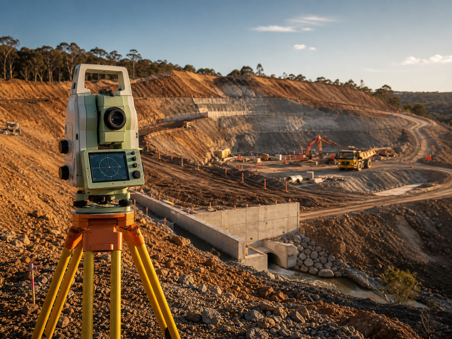
A precision survey on an industrial or construction site succeeds or fails on two things decided long before anyone sets up a tripod: can the crew physically and safely reach the asset, and is the scope defined tightly enough that the data answers the actual question. This checklist gives site teams, project coordinators and construction managers a single pre-mobilisation reference covering access, permits, datum, equipment, deliverables and cost — so the surveyor walks on with the right gear, the right authority to be there, and an unambiguous brief, and walks off with usable data the first time.
Key takeaways
- Confirm site access and the asset state before you confirm the survey date. The most common cause of a wasted mobilisation is not weather or equipment — it is an EWP that was double-booked, a vessel that was still full, or a permit that had not cleared. Access governs the calendar, not the other way around.
- Write a scope that names the asset, the deliverable, the tolerance and the standard for every line item. "Survey the structure" is not a scope; "as-built point cloud of the conveyor stringer to ±3 mm, registered to site control, delivered as E57 plus 3D model" is. Vague scopes produce data nobody can use.
- Tie everything to GDA2020 / MGA2020 horizontal and AHD vertical through validated control, with an uncertainty framework consistent with ICSM SP1. Without it, this survey cannot be compared with the last one or handed to a designer working in the project datum.
- Match the instrument to the tolerance, not to the budget. A Leica TS16 or MS60 total station holds sub-millimetre to low-millimetre on alignment; a Leica RTC360 or FARO Focus scanner captures as-built geometry to a few millimetres; a DJI M350 RTK does stockpiles and elevated structures from the air under CASA CASR Part 101.
- Budget realistically. A focused half-to-one-day site survey typically runs AUD $2,500–$8,000 plus travel; a larger multi-asset or multi-day capture commonly lands at $10,000–$40,000+, with remote and FIFO sites such as the Pilbara or Bowen Basin adding 25–100% before a single point is captured.
- Lock deliverable format and turnaround in the scope. Registered point clouds, as-built models and reports take days to weeks to process — agree E57/RCP, coordinate schedule, report format and the due date before the crew demobilises.
Why access and scope must be settled before mobilisation
Industrial surveying is unusual among site trades in that the value is created entirely off-site, in the office, days after the field work — yet the field work can only happen during a narrow, contested window when the asset is in the right state and the crew can reach it. A surveyor cannot capture a vessel interior until the manway is open and the space is gas-tested and entry-permitted. A crane rail cannot be measured until the crane is isolated and parked clear of the line. A live conveyor cannot be checked for stringer straightness, and a stockpile cannot be flown if the airspace is closed or the wind is over limits. Every one of these is an access dependency, and every one is decided by someone other than the surveyor.
That makes the pre-mobilisation conversation the highest-leverage hour in the whole job. If the site team confirms the asset will be cold, drained, isolated and reachable on the day, and the coordinator has the permits moving and the access equipment booked against the same window, the field work is routine. If any of those is assumed rather than confirmed, the crew arrives, waits, and either captures partial data or stands down — and a stand-down on a remote site can cost more than the survey itself.
Scope discipline does the same work on the data side. A loose brief invites the surveyor to guess at tolerance, datum and deliverable, and a guess that is wrong is discovered weeks later when a designer cannot import the file or a comparison to last year's data turns out to be impossible. The checklist below forces both halves — access and scope — to be explicit before anyone mobilises.
The site access checklist
Work through this with the site team and asset owner. Each item is a question whose answer changes whether, when or how the survey can run.
Physical access and asset state
- Is the asset in the state required for the measurement on the survey date (cold, drained, cleaned, de-loaded, dismantled or opened as the deliverable demands)?
- Is access at height needed, and is the EWP, scissor lift, boom lift or scaffold booked against the same window as the survey — not just "available on site"?
- For internal scans (vessels, bins, silos, ducts), is the space confined-space classified, and who is arranging gas testing and the entry permit?
- Is the route to the asset clear of conflicting work — can the crew reach the set-up points with line of sight to the targets without another trade occupying the space?
- Are there isolation and de-energisation (LOTO) requirements for surveying near or over moving plant, crane runways or live electrical?
- For UAV work, is the airspace clear (CASA CASR Part 101, controlled-airspace or aerodrome constraints, site no-fly zones), and is there a weather go/no-go fallback window?
Permits, induction and competency
- Is the site induction booked for every crew member ahead of the day, including any online pre-induction?
- Are the required work permits (working at height, hot work near live plant, confined space, ground penetration) identified and in progress?
- Have JSAs/SWMS been submitted and accepted for the survey activity?
- Are crew competencies and tickets current — white card, working at heights, confined space entry, EWP licence, RePL/ReOC for drone pilots?
- Is the surveyor's public liability and professional indemnity insurance sighted and accepted by the site?
Site logistics and coordination
- Is there a named site contact for the day with authority to release access and resolve clashes in real time?
- Is the survey task on the daily coordination meeting / lookahead so access is reallocated if a predecessor slips?
- Are parking, lay-down, power and welfare sorted for a crew that may be on site for a full day?
- For remote sites, are accommodation, flights/drive, and site-vehicle access confirmed (FIFO or DIDO logistics)?
The survey scope checklist
A scope is complete when, for every deliverable, a reader can state what is being measured, how accurately, against what reference, and what they will receive. Fill out the table below — one row per deliverable — and you have a brief a surveyor can quote and execute without guessing.
| Scope element | What to specify | Example |
|---|---|---|
| Asset / location | The exact item and where it is | "No. 2 conveyor head-end structure, screening building" |
| Deliverable | What the survey produces | As-built point cloud + 3D model; alignment certificate; volume; deformation comparison |
| Tolerance | The accuracy the deliverable must meet | ±3 mm as-built; ±0.5–2 mm alignment; volume ±1–2% |
| Standard | The reference the tolerance comes from | OEM alignment spec; AS 1418 family (cranes); ISO/AS as-built tolerance |
| Datum | Horizontal and vertical reference | GDA2020 / MGA2020 + AHD, via validated site control |
| Method | How it will be captured | Total station; terrestrial laser scan; UAV photogrammetry/LiDAR |
| Format | How data is delivered | E57 / RCP / RCS point cloud; 2D DWG; 3D model; signed PDF report; coordinate schedule |
| Baseline | First survey or repeat comparison | Repeat — must compare to 2024 control and dataset |
| Turnaround | When the deliverable is due | Field complete + 5 working days |
| Sign-off | Who certifies accuracy | Registered surveyor; named recipient |
Scope confirmation checklist
- Every deliverable has a named asset, tolerance, standard, datum, method, format and due date.
- The datum and units are stated in writing to avoid a GDA94/GDA2020 transformation error or a metric/imperial slip later.
- Where the work is a repeat, the previous control and dataset have been located and the comparison method agreed.
- On-critical-path deliverables (a tie-in clash model gating fabrication) are flagged separately from reference-only captures.
- Out-of-tolerance handling is agreed up front — who is told, and what happens, if a crane rail or baseplate is out of spec.
Matching equipment to the asset and tolerance
The instrument is set by the tolerance the deliverable demands and the access available, not by what is cheapest to mobilise. Over-specifying wastes budget; under-specifying produces data that cannot answer the question.
| Asset / deliverable | Typical tolerance | Suitable equipment | Access note |
|---|---|---|---|
| Rotating equipment / baseplate alignment | ±0.5–2 mm | Leica TS16 / MS60, Trimble total station | Stable set-up, line of sight to all points; tie to control |
| Vessel / structure as-built & clash model | 2–6 mm | Leica RTC360, FARO Focus | Plan scan-station coverage; targets for registration |
| Crane rail span, straightness, level | ±3–10 mm per AS 1418 family | TS16 / MS60, Trimble S-series | Crane isolated and parked clear of the run |
| Conveyor stringer / structure alignment | 2–5 mm | Total station + scanner | Survey cold and unloaded |
| Stockpile volume, roofs, elevated structures | Volume ±1–2%; survey-grade with GCPs | DJI M350 RTK (photogrammetry/LiDAR) | CASA CASR Part 101; ground control + checkpoints |
| Settlement / deformation monitoring | Sub-mm to mm trend | Total station + fixed prisms | Re-validated control baseline required |
A practical rule for the coordinator: if the question is "is it within tolerance and has it moved," book a total station and verified control; if it is "what does it actually look like for design, clash or as-built," book a laser scanner; if it is "how much is there or what does the top look like," book a UAV. Many site scopes need two of the three in one mobilisation — see our engineering and civil surveys for how methods are combined on a single visit.
Budgeting and the access-driven cost drivers
Indicative 2026 guide pricing for site surveying in Australia, excluding GST and travel, for metropolitan and near-regional sites:
| Scope | Indicative AUD | Typical duration |
|---|---|---|
| Single-asset capture (one alignment, one scan, one volume) | $2,500–$5,000 | 0.5–1 day |
| Focused multi-asset capture (one mobilisation) | $5,000–$14,000 | 1–2 days |
| Larger site programme (process plant, port, plant area) | $15,000–$40,000+ | 3–6+ days |
| UAV stockpile / elevated add-on | $1,500–$4,000 | 0.5–1 day |
| Deformation / monitoring repeat visit | $2,500–$6,000 per visit | 0.5–1 day |
The cost movers are dominated by access, not by the instrument. Remoteness is the biggest: a Pilbara iron ore site, a Bowen Basin coal operation or a remote port adds 25–100% for FIFO, accommodation and mobilisation before a single point is captured. Access at height comes next — EWP and scaffold time, and at-height working, regularly dominate field days. Permit-heavy confined-space work adds standby time. And deliverable complexity drives the office cost: a coordinate schedule is cheap, a fully registered, modelled and reported deliverable is not. A clean access plan that lets the crew work without waiting is the single biggest lever the site team controls on price.
Common pre-mobilisation failures to avoid
The recurring failures are not technical — they are access and scope failures, and they are all preventable from the desk. The biggest is confirming the date before confirming access, so the crew arrives to a still-full vessel or a double-booked EWP. The second is the vague scope that omits tolerance or datum, producing data a designer cannot use. The third is forgetting control validation on a repeat survey, which quietly invalidates any comparison. The fourth is booking field time but not processing time, then being surprised a point cloud takes a week. The fifth is treating UAV flights as casual — without CASA CASR Part 101 compliance and ground control, the imagery is neither legal nor accurate enough to act on. A coordinator who closes out both checklists above avoids all five.
Frequently asked questions
How far ahead should I confirm access and scope before the survey?
Settle the scope as soon as the deliverable is known, and confirm access at least one to two weeks out for a metropolitan site, longer for a remote or permit-heavy one. Access is the constraint: permits, EWP bookings and asset states are negotiated days to weeks ahead, so the survey date should follow the access window, never lead it. For surveys inside a shutdown, scope is locked far earlier — at the turnaround planning gate.
What is the minimum a scope needs to specify?
For each deliverable: the asset, the tolerance, the standard the tolerance comes from, the horizontal and vertical datum (GDA2020/MGA2020 and AHD), the capture method, the delivery format, and the due date. If any of these is missing, the surveyor has to assume it, and a wrong assumption is found weeks later when the data cannot be used.
Who is responsible for permits and access — us or the surveyor?
Almost always the site. The surveyor holds their own competencies, tickets and insurance and completes inductions, JSAs and SWMS, but confined-space entry permits, isolations, EWP bookings and the authority to be in a given area sit with the site or principal contractor. Agreeing this split explicitly before the day is what prevents the crew arriving without the access they need.
Does every survey really need site control on GDA2020 and AHD?
If the data will be compared over time, handed to a designer, or used for compliance, then yes — it must sit in the project datum via validated control, with uncertainty consistent with ICSM SP1. A one-off measurement that will never be compared or imported can use simple local control, but most site data is captured precisely because someone will use it again, so default to validated GDA2020/MGA2020 and AHD unless there is a clear reason not to.
Can a drone replace ground survey to save on access?
For stockpile volumes, roof condition and elevated structures, a DJI M350 RTK with ground control is fast and avoids putting people at height — a genuine access win. It does not replace a total station for alignment or a laser scanner for internal as-builts and clash detection. UAV work also carries its own access constraints under CASA CASR Part 101. Plan it as a complementary method that reduces at-height access, not as a universal substitute.
Talk to ISS
If you are scoping a survey onto an upcoming site visit and want it sequenced correctly against your access and permit windows, talk to Industrial Spatial Solutions before you lock the date. We will help you define each deliverable, set the right tolerance and datum, confirm what access and permits the crew needs, and agree realistic field and processing time so nothing is missed and nobody stands idle on site. Call 0407 057 015 or contact our team to plan your site access and survey scope, and see our services for the full range of precision surveying we mobilise.