
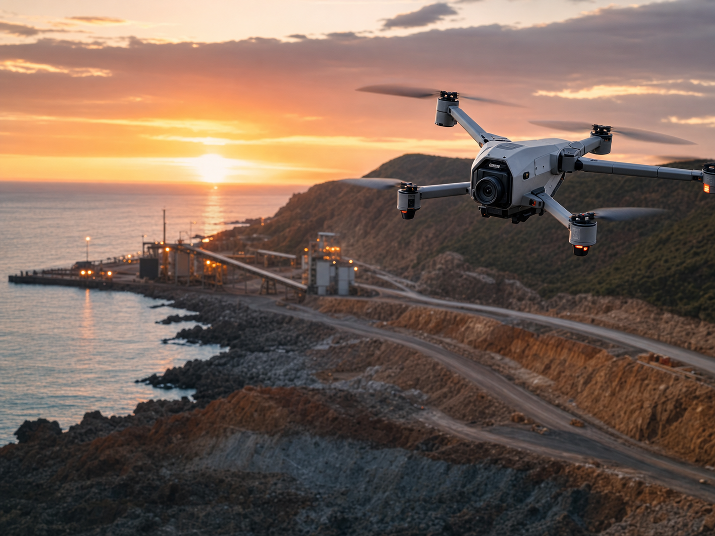
A UAV survey on an industrial site is only as useful as the planning behind it: get the ground control, flight parameters, airspace approvals and tolerance expectations right, and a single drone mission can deliver survey-grade topography, stockpile volumes and as-built point clouds to 20-50 mm accuracy in a fraction of the time a ground crew would take. This guide walks Australian project managers, civil contractors and site teams through scoping, approvals, equipment, accuracy and cost so your next aerial survey lands on spec the first time.
Key takeaways
- A correctly flown DJI M350 RTK photogrammetry mission with adequate ground control delivers 20-50 mm horizontal accuracy on hard surfaces; UAV LiDAR (e.g. payloads on the same airframe) reaches bare earth through light vegetation at 30-80 mm vertical.
- Commercial UAV operations over an industrial site almost always require a CASA Remotely Piloted Aircraft Operator's Certificate (ReOC) plus a licensed remote pilot, and operations near aerodromes, controlled airspace or above 120 m AGL need additional approvals under CASR Part 101.
- Survey deliverables must be tied to GDA2020 / MGA2020 horizontal and AHD vertical datums via a validated control network compliant with ICSM SP1 to be defensible for design, claims or compliance.
- Budget roughly AUD $1,500-$3,500 for a small single-day photogrammetry survey and AUD $5,000-$15,000+ for larger LiDAR or multi-day industrial captures, depending on area, control and deliverables.
- Ground control points (GCPs) and independent checkpoints are non-negotiable for survey-grade output; RTK/PPK alone reduces but does not eliminate the need for control on high-tolerance work.
- UAV is the wrong tool for sub-10 mm dimensional control on plant and structures, kiln/conveyor alignment or anything requiring direct line-of-sight precision, where a terrestrial laser scan or total station is the correct method.
When a UAV survey is the right tool
UAV survey excels where you need broad area coverage, repeatable data capture and reduced time on a live or hazardous site. On a typical Australian industrial brief that means:
- Stockpile and earthworks volumetrics at mines, quarries, ports and batch plants, where monthly reconciliation drives reporting and payment.
- Topographic and contour mapping for civil design, drainage, tailings dams and haul-road planning across tens or hundreds of hectares.
- As-constructed and progress surveys on large civil sites where walking the area with a total station is slow or unsafe.
- Asset and structure inspection of conveyors, sheds, tank farms, stacks and roofing, capturing condition imagery and orthomosaics without working at height.
- Vegetation-penetrating bare-earth models using UAV LiDAR where photogrammetry cannot see the ground.
It is the wrong tool when tolerances tighten. Aligning a kiln to sub-millimetre, checking crane-rail straightness, or verifying machined flange faces demands a Leica MS60 MultiStation, a TS16 total station or an RTC360 / FARO terrestrial scanner, not a drone. A good rule: if the tolerance is tighter than about 10 mm or the target is a discrete engineered surface rather than terrain, ground methods win. ISS routinely combines both — a UAV aerial survey for the wider site and terrestrial scanning for the precision work — on a single mobilisation.
Equipment and methods explained
Two distinct capture methods sit under the "UAV survey" banner, and choosing correctly is the single biggest driver of accuracy and cost.
Photogrammetry uses overlapping high-resolution RGB imagery (typically 75-80% front and 60-70% side overlap) processed into a dense point cloud, digital surface model and orthomosaic. It is the default for stockpiles, open earthworks and mapping of exposed ground. A DJI M350 RTK with a survey camera or the integrated RTK module is the workhorse airframe in Australian industrial work, with onboard RTK feeding a corrected camera position to every frame.
UAV LiDAR mounts a laser scanner (and IMU/GNSS) on the same class of airframe. It actively measures range, so it penetrates light to moderate vegetation to return bare-earth points where photogrammetry only sees canopy. It costs more and the data is heavier to process, but for vegetated topography, tailings batters or pre-clearing surveys it is the only reliable option.
| Method | Typical accuracy | Best application | Relative cost |
|---|---|---|---|
| Photogrammetry (RTK + GCPs) | 20-50 mm H / 30-60 mm V | Stockpiles, open earthworks, orthomosaics | Lower |
| UAV LiDAR | 30-80 mm typical | Vegetated terrain, bare-earth DTM | Higher |
| Terrestrial scan (RTC360/FARO) | 1-6 mm | Plant, structures, dimensional control | Site-dependent |
| Total station (Leica TS16) | sub-mm to a few mm | Control, setout, alignment | Crew time |
Processing is done in established photogrammetry and point-cloud software, with the output georeferenced to MGA2020 zone and AHD heights before any volume, contour or as-built is extracted.
Accuracy, datums and ground control
Survey-grade output is not a property of the drone — it is a property of the control. Three things determine whether your deliverable is defensible.
Datum. Every Australian survey deliverable should be referenced to GDA2020, projected to the correct MGA2020 zone (e.g. Zone 50 for the Pilbara, Zone 56 for much of NSW/QLD coast), with heights on the Australian Height Datum (AHD). Mixing GDA94 and GDA2020 is a common and expensive error — the two differ by roughly 1.8 m. Confirm the datum in writing before mobilisation.
Control network. GCPs are surveyed targets placed across the site and measured by a licensed surveyor using GNSS or total station traverse to ICSM SP1 standards. They tie the entire point cloud to real-world coordinates. Independent checkpoints — control points withheld from processing — are then used to verify the achieved accuracy honestly rather than just reporting the software's internal residuals.
RTK / PPK. Onboard RTK or post-processed kinematic positioning dramatically improves per-image accuracy and reduces the number of GCPs required, but it does not replace control on high-tolerance work. For volumetrics tied to payment, or as-builts feeding design, plan for a properly distributed GCP network and at least three to five checkpoints.
CASA approvals and site safety
Commercial UAV operations in Australia are regulated under CASR Part 101 by CASA, and an industrial site introduces real complexity.
- The operating business generally needs a Remotely Piloted Aircraft Operator's Certificate (ReOC), and the pilot a Remote Pilot Licence (RePL) for sub-25 kg and larger aircraft.
- Standard operating conditions cap flight at 120 m above ground level, require visual line of sight, daylight operations, 30 m separation from non-involved people, and no flight in controlled airspace or within 3 nautical miles of a controlled aerodrome without approval.
- Many mine sites, ports and industrial precincts sit near non-towered or controlled aerodromes; expect to lodge airspace approvals and coordinate with the relevant air traffic or aerodrome operator.
- Site-specific hazards — energised plant, blasting exclusion zones, magnetic interference near large steel structures affecting the compass, and high-EMI environments — must be captured in a job safety analysis before flight.
ISS holds the operator certification and pilot licensing required for industrial UAV work and manages the airspace approvals as part of mobilisation, so the approvals burden does not fall on your site team.
Pre-flight planning checklist
Run this before every industrial UAV survey. It is the difference between a clean dataset and a re-fly.
- Survey purpose and deliverables confirmed (volumes, DTM, orthomosaic, as-built, inspection)
- Required accuracy and tolerance agreed in writing
- Datum confirmed: GDA2020, correct MGA2020 zone, AHD heights
- Capture method selected (photogrammetry vs UAV LiDAR) for the ground cover
- CASA ReOC operator and licensed RePL pilot confirmed
- Airspace checked; aerodrome/ATC approvals lodged where required
- Ground control plan: GCP count, distribution and checkpoints defined
- Site induction, JSA and exclusion zones completed
- Weather window checked (wind, rain, lighting); contingency day held
- Live-plant and personnel coordination scheduled with site supervisor
- Battery, payload and data-storage capacity confirmed for the area
- Deliverable format and CAD/GIS coordinate system agreed with the design team
Costs and turnaround
Pricing varies with area, method, control requirements and deliverable complexity, but realistic Australian ranges are:
| Scope | Indicative cost (AUD) | Typical turnaround |
|---|---|---|
| Small single-day photogrammetry (stockpiles, small site) | $1,500 - $3,500 | 2-4 business days |
| Medium site topo / volumetrics with full control | $3,500 - $8,000 | 3-7 business days |
| Large or UAV LiDAR / multi-day industrial capture | $5,000 - $15,000+ | 1-2 weeks |
| Recurring monthly volumetric reconciliation | Negotiated per visit | 1-3 days per cycle |
Two factors quietly drive cost: the density and rigour of ground control (a tight checkpoint regime adds surveyor time but is what makes the data defensible), and deliverable complexity (a raw orthomosaic is cheap; a fully classified bare-earth DTM with CAD contours and an as-built model is not). Mobilisation distance to remote sites such as the Pilbara or Bowen Basin also matters — combining the UAV survey with other ISS work on the same trip is the most cost-effective approach.
Frequently asked questions
How accurate is a drone survey compared with a total station?
A well-controlled UAV photogrammetry survey achieves around 20-50 mm horizontally on hard surfaces — excellent for terrain, stockpiles and earthworks. A total station such as a Leica TS16 reaches sub-millimetre to a few millimetres on discrete points. For broad area mapping the drone is more than accurate enough; for setout, alignment and dimensional control the total station remains essential.
Do I need CASA approval for a survey on private industrial land?
Yes. Commercial operation of an RPA still falls under CASR Part 101 regardless of whether the land is private. The operator needs a ReOC and the pilot a RePL, and proximity to aerodromes or controlled airspace can require additional approvals even over your own site.
How many ground control points does an industrial site need?
It depends on area, terrain and required accuracy, but a practical starting point is a well-distributed network across the site plus three to five independent checkpoints. RTK/PPK reduces the count needed, but high-tolerance volumetrics and as-builts still warrant a proper GCP layout measured to ICSM SP1.
Can a UAV survey see the ground through vegetation?
Photogrammetry cannot — it only maps the visible surface, so dense grass or scrub corrupts the terrain model. UAV LiDAR actively measures range and penetrates light to moderate vegetation to return bare-earth points, which is why it is the preferred method for vegetated topography and pre-clearing surveys.
What datum will my deliverables be in?
Australian industrial deliverables should be on GDA2020, projected to the correct MGA2020 zone for your location, with heights on AHD. Confirm this against your design team's coordinate system before the survey, because retro-fitting a datum change after capture wastes time and risks error.
Talk to ISS
If you are planning an aerial capture and want it to land on spec the first time, ISS brings CASA-certified UAV operations, rigorous ground control to ICSM SP1, and the option to combine drone work with terrestrial scanning and engineering survey on a single mobilisation. Call us on 0407 057 015 or contact our team to scope your site, agree tolerances and datums, and get a fixed quote for your next UAV survey.